
猫鼻梁观景台 topographic map
Interactive map
Click on the map to display elevation.
About this map
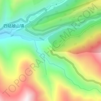
Name: 猫鼻梁观景台 topographic map, elevation, terrain.
Location: 猫鼻梁观景台, G350, 四姑娘山镇, 小金县, 阿坝藏族羌族自治州, 四川省, 中国 (30.98883 102.84223 30.98893 102.84233)
Average elevation: 3,478 m
Minimum elevation: 3,112 m
Maximum elevation: 4,015 m
Other topographic maps
Click on a map to view its topography, its elevation and its terrain.