
南湾街道 topographic map
Interactive map
Click on the map to display elevation.
About this map
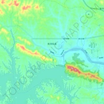
Name: 南湾街道 topographic map, elevation, terrain.
Location: 南湾街道, 浉河区, 信阳市, 河南省, 中国 (32.09316 113.95191 32.17970 114.04304)
Average elevation: 119 m
Minimum elevation: 71 m
Maximum elevation: 299 m
Other topographic maps
Click on a map to view its topography, its elevation and its terrain.