
欠十步村 topographic map
Interactive map
Click on the map to display elevation.
About this map
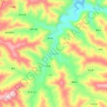
Name: 欠十步村 topographic map, elevation, terrain.
Location: 欠十步村, 林州市, 安阳市, 河南省, 中国 (35.69025 113.80105 35.73025 113.84105)
Average elevation: 544 m
Minimum elevation: 360 m
Maximum elevation: 729 m
Other topographic maps
Click on a map to view its topography, its elevation and its terrain.