
邵原镇 topographic map
Interactive map
Click on the map to display elevation.
About this map
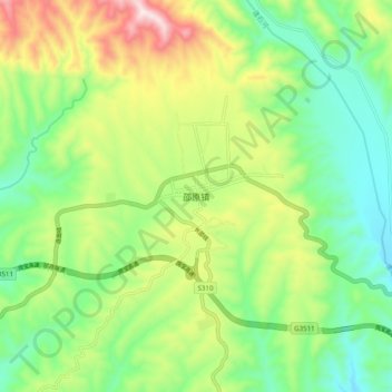
Name: 邵原镇 topographic map, elevation, terrain.
Location: 邵原镇, 济源市, 河南省, 中国 (35.11998 112.08692 35.19998 112.16692)
Average elevation: 560 m
Minimum elevation: 344 m
Maximum elevation: 948 m
Other topographic maps
Click on a map to view its topography, its elevation and its terrain.