
穰东镇 topographic map
Interactive map
Click on the map to display elevation.
About this map
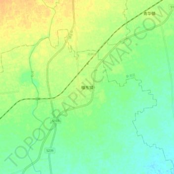
Name: 穰东镇 topographic map, elevation, terrain.
Location: 穰东镇, 南阳市, 河南省, 中国 (32.81521 112.24700 32.89521 112.32700)
Average elevation: 122 m
Minimum elevation: 110 m
Maximum elevation: 136 m
Other topographic maps
Click on a map to view its topography, its elevation and its terrain.