
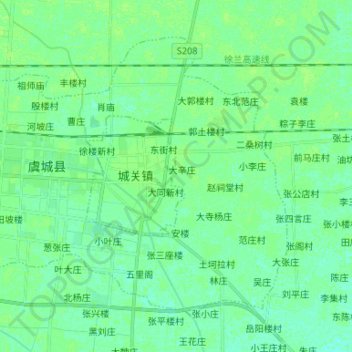
城郊乡 topographic map
Interactive map
Click on the map to display elevation.
About this map
Name: 城郊乡 topographic map, elevation, terrain.
Location: 城郊乡, 虞城县, 商丘市, 河南省, 中国 (34.35268 115.78082 34.43896 115.91322)
Average elevation: 47 m
Minimum elevation: 43 m
Maximum elevation: 51 m