
甘泉村 topographic map
Interactive map
Click on the map to display elevation.
About this map
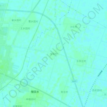
Name: 甘泉村 topographic map, elevation, terrain.
Location: 甘泉村, 延津县, 新乡市, 河南省, 中国 (35.12876 114.20681 35.16876 114.24681)
Average elevation: 72 m
Minimum elevation: 69 m
Maximum elevation: 75 m
Other topographic maps
Click on a map to view its topography, its elevation and its terrain.