
南疆 topographic map
Interactive map
Click on the map to display elevation.
About this map
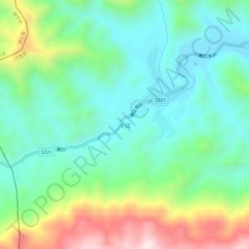
Name: 南疆 topographic map, elevation, terrain.
Location: 南疆, 江西省, 中国 (29.23990 114.24876 29.27990 114.28876)
Average elevation: 431 m
Minimum elevation: 237 m
Maximum elevation: 884 m
Other topographic maps
Click on a map to view its topography, its elevation and its terrain.