
周源 topographic map
Interactive map
Click on the map to display elevation.
About this map
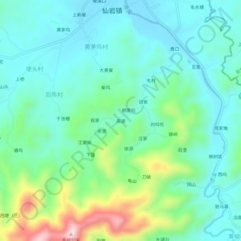
Name: 周源 topographic map, elevation, terrain.
Location: 周源, 黄茅坞村, 仙岩镇, 玉山县, 上饶市, 江西省, 中国 (28.53075 118.36799 28.57075 118.40799)
Average elevation: 217 m
Minimum elevation: 127 m
Maximum elevation: 496 m