
上开边村 topographic map
Interactive map
Click on the map to display elevation.
About this map
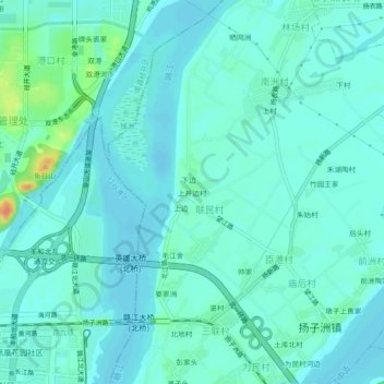
Name: 上开边村 topographic map, elevation, terrain.
Location: 上开边村, 扬子洲镇, 东湖区, 南昌市, 江西省, 中国 (28.71946 115.87616 28.75946 115.91616)
Average elevation: 20 m
Minimum elevation: 12 m
Maximum elevation: 56 m
Other topographic maps
Click on a map to view its topography, its elevation and its terrain.