
丰城市工业园区 topographic map
Interactive map
Click on the map to display elevation.
About this map
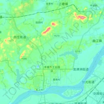
Name: 丰城市工业园区 topographic map, elevation, terrain.
Location: 丰城市工业园区, 丰城市, 宜春市, 江西省, 中国 (28.17041 115.68671 28.29975 115.80377)
Average elevation: 36 m
Minimum elevation: 12 m
Maximum elevation: 143 m
Other topographic maps
Click on a map to view its topography, its elevation and its terrain.