
桃源乡 topographic map
Interactive map
Click on the map to display elevation.
About this map
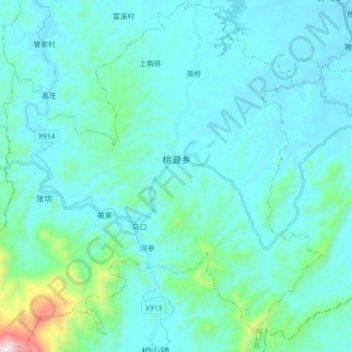
Name: 桃源乡 topographic map, elevation, terrain.
Location: 桃源乡, 崇仁县, 抚州市, 江西省, 中国 (27.55617 115.94836 27.70246 116.10828)
Average elevation: 184 m
Minimum elevation: 57 m
Maximum elevation: 1,202 m
Other topographic maps
Click on a map to view its topography, its elevation and its terrain.