
兴华路街道 topographic map
Interactive map
Click on the map to display elevation.
About this map
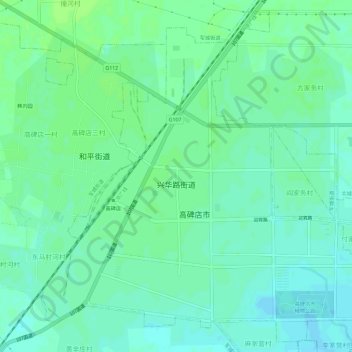
Name: 兴华路街道 topographic map, elevation, terrain.
Location: 兴华路街道, 高碑店市, 保定市, 河北省, 074000, 中国 (39.30980 115.84067 39.35209 115.89886)
Average elevation: 34 m
Minimum elevation: 29 m
Maximum elevation: 38 m
Other topographic maps
Click on a map to view its topography, its elevation and its terrain.