
仓尚河 topographic map
Interactive map
Click on the map to display elevation.
About this map
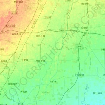
Name: 仓尚河 topographic map, elevation, terrain.
Location: 仓尚河, 保定市, 河北省, 中国 (39.20876 115.94831 39.47622 116.13391)
Average elevation: 25 m
Minimum elevation: 13 m
Maximum elevation: 43 m
Other topographic maps
Click on a map to view its topography, its elevation and its terrain.