
南鲁坡村 topographic map
Interactive map
Click on the map to display elevation.
About this map
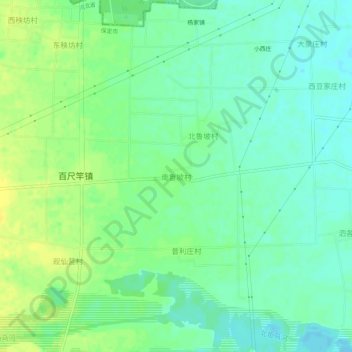
Name: 南鲁坡村 topographic map, elevation, terrain.
Location: 南鲁坡村, 保定市, 河北省, 中国 (39.50801 115.85125 39.54801 115.89125)
Average elevation: 41 m
Minimum elevation: 32 m
Maximum elevation: 52 m
Other topographic maps
Click on a map to view its topography, its elevation and its terrain.