
兰沟河 topographic map
Interactive map
Click on the map to display elevation.
About this map
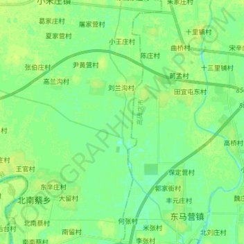
Name: 兰沟河 topographic map, elevation, terrain.
Location: 兰沟河, 定兴县, 保定市, 河北省, 中国 (39.11051 115.94102 39.20915 115.97943)
Average elevation: 18 m
Minimum elevation: 12 m
Maximum elevation: 22 m
Other topographic maps
Click on a map to view its topography, its elevation and its terrain.