
晓林镇 topographic map
Interactive map
Click on the map to display elevation.
About this map
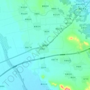
Name: 晓林镇 topographic map, elevation, terrain.
Location: 晓林镇, 保定市, 河北省, 中国 (38.53731 114.59331 38.61731 114.67331)
Average elevation: 122 m
Minimum elevation: 95 m
Maximum elevation: 296 m
Other topographic maps
Click on a map to view its topography, its elevation and its terrain.