
恒州镇 topographic map
Interactive map
Click on the map to display elevation.
About this map
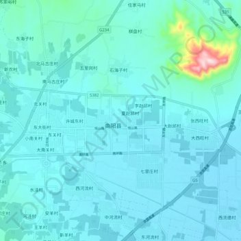
Name: 恒州镇 topographic map, elevation, terrain.
Location: 恒州镇, 保定市, 河北省, 中国 (38.58343 114.68863 38.66343 114.76863)
Average elevation: 115 m
Minimum elevation: 79 m
Maximum elevation: 463 m
Other topographic maps
Click on a map to view its topography, its elevation and its terrain.