
鱼卡 topographic map
Interactive map
Click on the map to display elevation.
About this map
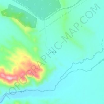
Name: 鱼卡 topographic map, elevation, terrain.
Location: 鱼卡, 大柴旦行政委员会, 海西蒙古族藏族自治州, 青海省, 816200, 中国 (37.99851 94.93415 38.03851 94.97415)
Average elevation: 3,224 m
Minimum elevation: 3,157 m
Maximum elevation: 3,475 m
Other topographic maps
Click on a map to view its topography, its elevation and its terrain.