
柴旦镇 topographic map
Interactive map
Click on the map to display elevation.
About this map
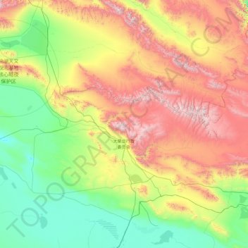
Name: 柴旦镇 topographic map, elevation, terrain.
Location: 柴旦镇, 大柴旦行政委员会, 海西蒙古族藏族自治州, 青海省, 816200, 中国 (37.33579 93.00054 38.76318 96.21174)
Average elevation: 3,453 m
Minimum elevation: 2,654 m
Maximum elevation: 5,635 m
Other topographic maps
Click on a map to view its topography, its elevation and its terrain.