
西台吉乃尔湖 topographic map
Interactive map
Click on the map to display elevation.
About this map
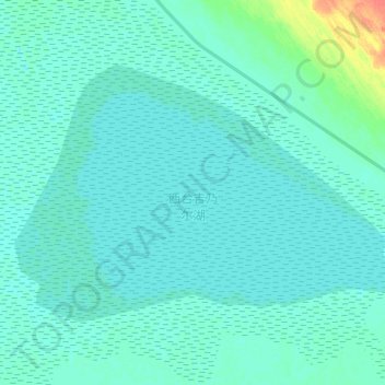
Name: 西台吉乃尔湖 topographic map, elevation, terrain.
Location: 西台吉乃尔湖, 大柴旦行政委员会, 海西蒙古族藏族自治州, 青海省, 816200, 中国 (37.67364 93.31693 37.75859 93.47724)
Average elevation: 2,686 m
Minimum elevation: 2,681 m
Maximum elevation: 2,722 m
Other topographic maps
Click on a map to view its topography, its elevation and its terrain.