
马海 topographic map
Interactive map
Click on the map to display elevation.
About this map
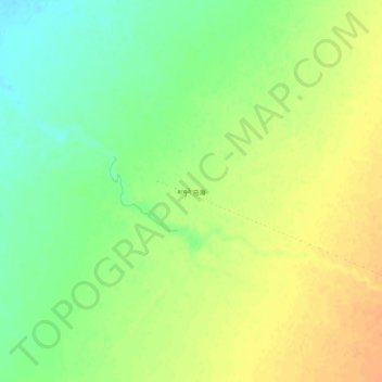
Name: 马海 topographic map, elevation, terrain.
Location: 马海, 柴旦镇, 大柴旦行政委员会, 海西蒙古族藏族自治州, 青海省, 816200, 中国 (38.03593 94.46634 38.07593 94.50634)
Average elevation: 2,828 m
Minimum elevation: 2,809 m
Maximum elevation: 2,843 m
Other topographic maps
Click on a map to view its topography, its elevation and its terrain.