
小柴旦湖 topographic map
Interactive map
Click on the map to display elevation.
About this map
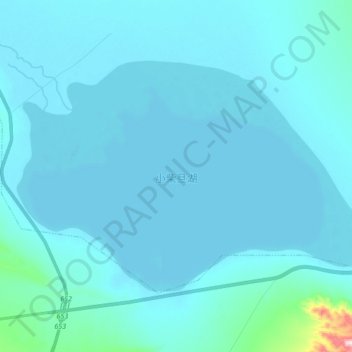
Name: 小柴旦湖 topographic map, elevation, terrain.
Location: 小柴旦湖, 柴旦镇, 大柴旦行政委员会, 海西蒙古族藏族自治州, 青海省, 816200, 中国 (37.45055 95.42976 37.53975 95.60077)
Average elevation: 3,195 m
Minimum elevation: 3,173 m
Maximum elevation: 3,605 m
Other topographic maps
Click on a map to view its topography, its elevation and its terrain.