
锡铁山镇 topographic map
Interactive map
Click on the map to display elevation.
About this map
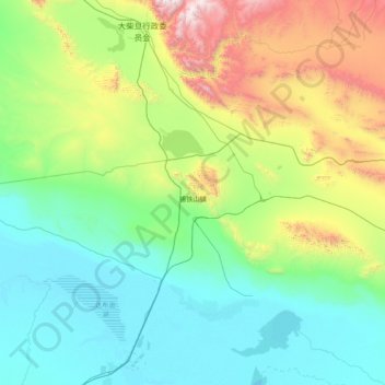
Name: 锡铁山镇 topographic map, elevation, terrain.
Location: 锡铁山镇, 大柴旦行政委员会, 海西蒙古族藏族自治州, 青海省, 816200, 中国 (37.15245 94.61927 37.52513 96.16608)
Average elevation: 3,182 m
Minimum elevation: 2,677 m
Maximum elevation: 5,282 m
Other topographic maps
Click on a map to view its topography, its elevation and its terrain.