
邯山区 topographic map
Interactive map
Click on the map to display elevation.
About this map
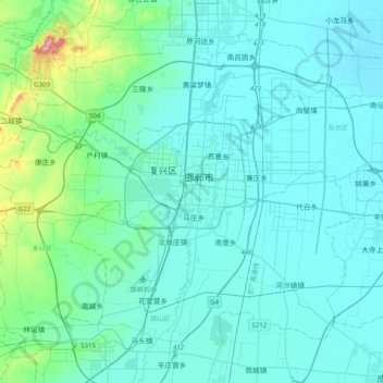
Name: 邯山区 topographic map, elevation, terrain.
Location: 邯山区, 邯郸市, 河北省, 056000, 中国 (36.43811 114.31819 36.75811 114.63819)
Average elevation: 89 m
Minimum elevation: 44 m
Maximum elevation: 476 m
Other topographic maps
Click on a map to view its topography, its elevation and its terrain.