
竭家沟村 topographic map
Interactive map
Click on the map to display elevation.
About this map
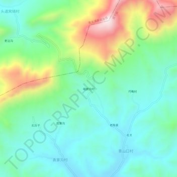
Name: 竭家沟村 topographic map, elevation, terrain.
Location: 竭家沟村, 抚宁区, 秦皇岛市, 河北省, 中国 (40.11664 119.18144 40.15664 119.22144)
Average elevation: 373 m
Minimum elevation: 183 m
Maximum elevation: 841 m
Other topographic maps
Click on a map to view its topography, its elevation and its terrain.