
王谦寺镇 topographic map
Interactive map
Click on the map to display elevation.
About this map
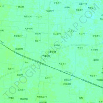
Name: 王谦寺镇 topographic map, elevation, terrain.
Location: 王谦寺镇, 衡水市, 河北省, 053000, 中国 (37.62381 116.07174 37.70381 116.15174)
Average elevation: 20 m
Minimum elevation: 16 m
Maximum elevation: 22 m
Other topographic maps
Click on a map to view its topography, its elevation and its terrain.