
关庙村 topographic map
Interactive map
Click on the map to display elevation.
About this map
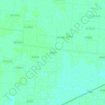
Name: 关庙村 topographic map, elevation, terrain.
Location: 关庙村, 衡水市, 河北省, 053000, 中国 (37.13499 115.78679 37.17499 115.82679)
Average elevation: 31 m
Minimum elevation: 27 m
Maximum elevation: 33 m
Other topographic maps
Click on a map to view its topography, its elevation and its terrain.