
阜城县 topographic map
Interactive map
Click on the map to display elevation.
About this map
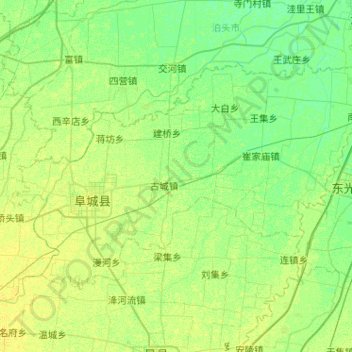
Name: 阜城县 topographic map, elevation, terrain.
Location: 阜城县, 衡水市, 河北省, 053700, 中国 (37.76456 116.04802 38.02539 116.55944)
Average elevation: 17 m
Minimum elevation: 11 m
Maximum elevation: 23 m
Other topographic maps
Click on a map to view its topography, its elevation and its terrain.