
大麻森乡 topographic map
Interactive map
Click on the map to display elevation.
About this map
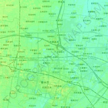
Name: 大麻森乡 topographic map, elevation, terrain.
Location: 大麻森乡, 桃城区, 衡水市, 河北省, 053000, 中国 (37.72969 115.60506 37.82645 115.80737)
Average elevation: 22 m
Minimum elevation: 17 m
Maximum elevation: 27 m
Other topographic maps
Click on a map to view its topography, its elevation and its terrain.