
乔屯乡 topographic map
Interactive map
Click on the map to display elevation.
About this map
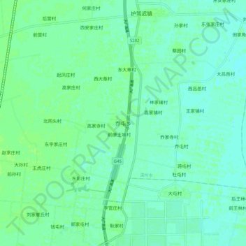
Name: 乔屯乡 topographic map, elevation, terrain.
Location: 乔屯乡, 衡水市, 河北省, 053000, 中国 (37.81556 115.65875 37.89556 115.73875)
Average elevation: 21 m
Minimum elevation: 17 m
Maximum elevation: 26 m
Other topographic maps
Click on a map to view its topography, its elevation and its terrain.