
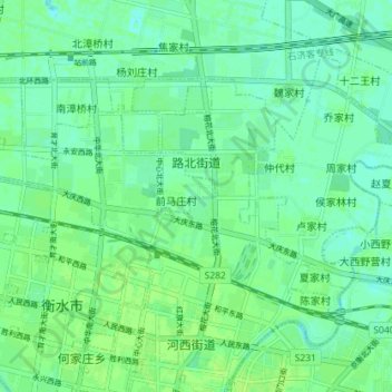
路北街道 topographic map
Interactive map
Click on the map to display elevation.
About this map
Name: 路北街道 topographic map, elevation, terrain.
Location: 路北街道, 桃城区, 衡水市, 河北省, 053000, 中国 (37.73509 115.64810 37.76898 115.71955)
Average elevation: 22 m
Minimum elevation: 17 m
Maximum elevation: 26 m