
太平镇 topographic map
Interactive map
Click on the map to display elevation.
About this map
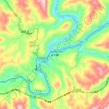
Name: 太平镇 topographic map, elevation, terrain.
Location: 太平镇, 古蔺县, 泸州市, 四川省, 中国 (28.09923 105.99728 28.17923 106.07728)
Average elevation: 524 m
Minimum elevation: 290 m
Maximum elevation: 848 m
Other topographic maps
Click on a map to view its topography, its elevation and its terrain.