
古蔺县 topographic map
Interactive map
Click on the map to display elevation.
About this map
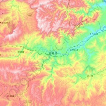
Name: 古蔺县 topographic map, elevation, terrain.
Location: 古蔺县, 泸州市, 四川省, 中国 (27.88210 105.64884 28.20210 105.96884)
Average elevation: 1,077 m
Minimum elevation: 358 m
Maximum elevation: 1,808 m
Other topographic maps
Click on a map to view its topography, its elevation and its terrain.