
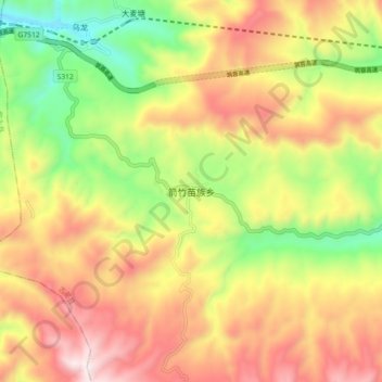
箭竹苗族乡 topographic map
Interactive map
Click on the map to display elevation.
About this map
Name: 箭竹苗族乡 topographic map, elevation, terrain.
Location: 箭竹苗族乡, 古蔺县, 泸州市, 四川省, 中国 (27.99694 105.57443 28.07694 105.65443)
Average elevation: 1,182 m
Minimum elevation: 705 m
Maximum elevation: 1,657 m
Other topographic maps
Click on a map to view its topography, its elevation and its terrain.