
皇华镇 topographic map
Interactive map
Click on the map to display elevation.
About this map
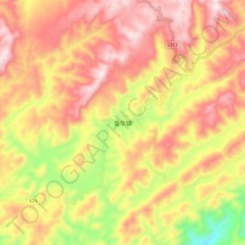
Name: 皇华镇 topographic map, elevation, terrain.
Location: 皇华镇, 古蔺县, 泸州市, 四川省, 中国 (27.86823 106.01406 27.94823 106.09406)
Average elevation: 1,125 m
Minimum elevation: 766 m
Maximum elevation: 1,377 m
Other topographic maps
Click on a map to view its topography, its elevation and its terrain.