
东新镇 topographic map
Interactive map
Click on the map to display elevation.
About this map
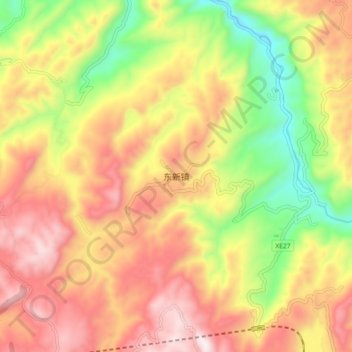
Name: 东新镇 topographic map, elevation, terrain.
Location: 东新镇, 古蔺县, 泸州市, 四川省, 中国 (28.02693 106.06850 28.10693 106.14850)
Average elevation: 851 m
Minimum elevation: 425 m
Maximum elevation: 1,230 m
Other topographic maps
Click on a map to view its topography, its elevation and its terrain.