
黄荆镇 topographic map
Interactive map
Click on the map to display elevation.
About this map
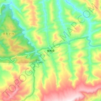
Name: 黄荆镇 topographic map, elevation, terrain.
Location: 黄荆镇, 古蔺县, 泸州市, 四川省, 中国 (28.19365 105.72794 28.27365 105.80794)
Average elevation: 1,281 m
Minimum elevation: 940 m
Maximum elevation: 1,747 m
Other topographic maps
Click on a map to view its topography, its elevation and its terrain.