
贵阳药用植物园 topographic map
Interactive map
Click on the map to display elevation.
About this map
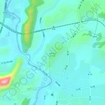
Name: 贵阳药用植物园 topographic map, elevation, terrain.
Location: 贵阳药用植物园, 花溪区, 贵阳市, 贵州省, 中国 (26.53045 106.69263 26.54019 106.70056)
Average elevation: 1,101 m
Minimum elevation: 1,059 m
Maximum elevation: 1,290 m
Other topographic maps
Click on a map to view its topography, its elevation and its terrain.