
峨山镇 topographic map
Interactive map
Click on the map to display elevation.
About this map
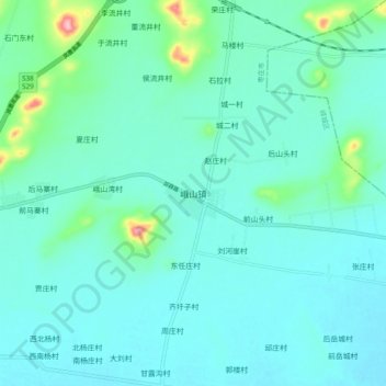
Name: 峨山镇 topographic map, elevation, terrain.
Location: 峨山镇, 枣庄市, 山东省, 中国 (34.73091 117.70739 34.81091 117.78739)
Average elevation: 58 m
Minimum elevation: 34 m
Maximum elevation: 196 m
Other topographic maps
Click on a map to view its topography, its elevation and its terrain.