
天柱山 topographic map
Interactive map
Click on the map to display elevation.
About this map
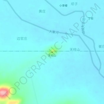
Name: 天柱山 topographic map, elevation, terrain.
Location: 天柱山, 枣庄市, 山东省, 中国 (34.70957 117.61795 34.70967 117.61805)
Average elevation: 51 m
Minimum elevation: 38 m
Maximum elevation: 176 m
Other topographic maps
Click on a map to view its topography, its elevation and its terrain.