
峄城大沙河分洪道 topographic map
Interactive map
Click on the map to display elevation.
About this map
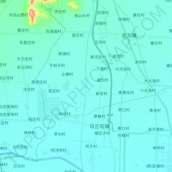
Name: 峄城大沙河分洪道 topographic map, elevation, terrain.
Location: 峄城大沙河分洪道, 台儿庄区, 枣庄市, 山东省, 中国 (34.57255 117.62976 34.69676 117.64154)
Average elevation: 37 m
Minimum elevation: 23 m
Maximum elevation: 209 m
Other topographic maps
Click on a map to view its topography, its elevation and its terrain.