
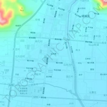
后洪楼 topographic map
Interactive map
Click on the map to display elevation.
About this map
Name: 后洪楼 topographic map, elevation, terrain.
Location: 后洪楼, 峄城区, 枣庄市, 山东省, 中国 (34.73970 117.55045 34.77970 117.59045)
Average elevation: 60 m
Minimum elevation: 43 m
Maximum elevation: 267 m