
武宅子村 topographic map
Interactive map
Click on the map to display elevation.
About this map
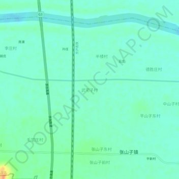
Name: 武宅子村 topographic map, elevation, terrain.
Location: 武宅子村, 枣庄市, 山东省, 中国 (34.54239 117.40986 34.58239 117.44986)
Average elevation: 36 m
Minimum elevation: 26 m
Maximum elevation: 69 m
Other topographic maps
Click on a map to view its topography, its elevation and its terrain.