
兰陵镇 topographic map
Interactive map
Click on the map to display elevation.
About this map
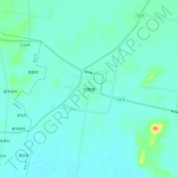
Name: 兰陵镇 topographic map, elevation, terrain.
Location: 兰陵镇, 临沂市, 山东省, 中国 (34.69838 117.81376 34.77838 117.89376)
Average elevation: 38 m
Minimum elevation: 30 m
Maximum elevation: 82 m
Other topographic maps
Click on a map to view its topography, its elevation and its terrain.