
郯城县 topographic map
Interactive map
Click on the map to display elevation.
About this map
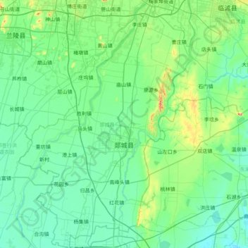
Name: 郯城县 topographic map, elevation, terrain.
Location: 郯城县, 临沂市, 山东省, 276100, 中国 (34.37858 118.07274 34.93657 118.52856)
Average elevation: 47 m
Minimum elevation: 17 m
Maximum elevation: 220 m
Other topographic maps
Click on a map to view its topography, its elevation and its terrain.