
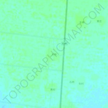
刘埠 topographic map
Interactive map
Click on the map to display elevation.
About this map
Name: 刘埠 topographic map, elevation, terrain.
Location: 刘埠, 临沂市, 山东省, 中国 (34.74908 118.33559 34.78908 118.37559)
Average elevation: 48 m
Minimum elevation: 44 m
Maximum elevation: 52 m
Other topographic maps
Click on a map to view its topography, its elevation and its terrain.