
坊前 topographic map
Interactive map
Click on the map to display elevation.
About this map
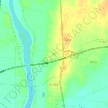
Name: 坊前 topographic map, elevation, terrain.
Location: 坊前, 临沂市, 山东省, 中国 (35.37787 118.47192 35.41787 118.51192)
Average elevation: 102 m
Minimum elevation: 88 m
Maximum elevation: 117 m
Other topographic maps
Click on a map to view its topography, its elevation and its terrain.