
郭家湾 topographic map
Interactive map
Click on the map to display elevation.
About this map
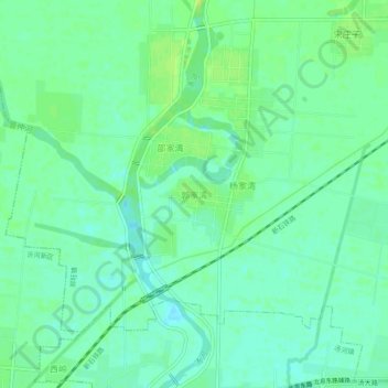
Name: 郭家湾 topographic map, elevation, terrain.
Location: 郭家湾, 临沂市, 山东省, 中国 (35.12181 118.54428 35.16181 118.58428)
Average elevation: 69 m
Minimum elevation: 62 m
Maximum elevation: 76 m
Other topographic maps
Click on a map to view its topography, its elevation and its terrain.