
苏家屯区 topographic map
Interactive map
Click on the map to display elevation.
About this map
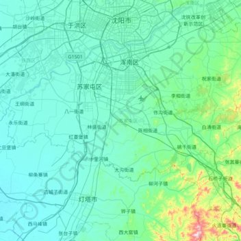
Name: 苏家屯区 topographic map, elevation, terrain.
Location: 苏家屯区, 沈阳市, 辽宁省, 中国 (41.46059 123.10572 41.71826 123.78559)
Average elevation: 74 m
Minimum elevation: 14 m
Maximum elevation: 620 m
Other topographic maps
Click on a map to view its topography, its elevation and its terrain.